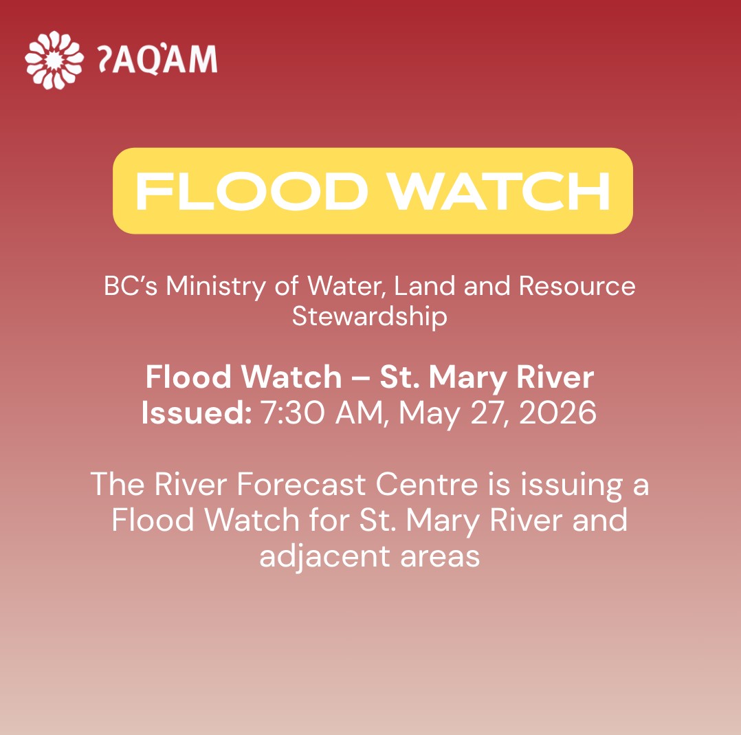
FLOOD WATCH ALERT ENDED AT 12:00 PM
Information reposted from the BC Ministry of Water, Land and Resource Stewardship
Flood Watch – St. Mary River and Kaslo River
Issued: 7:30 AM May 27, 2026
The River Forecast Centre is issuing a Flood Watch for: St. Mary River and adjacent areas
Weather Synopsis: The above areas are experience high temperatures this week, and very localized showers of high rainfall intensity hit these areas last night.
River Conditions: The Water Survey of Canada (WSC) real-time hydrometric station – ST. MARY RIVER BELOW MORRIS CREEK (08NG077) has peaked early this morning at 120 m3 /s, which is a flood between 20- and 50-year return periods and has dropped to 84.2 m3/s, which is a flood between 5- and 10-year return periods.
- Fast-flowing rivers pose increased risk to safety. Stay away from rivers and river banks, which can be unstable.
- Never drive through floodwaters, as unseen hazards and current can be life threatening.
The River Forecast Centre continues to monitor the conditions and will provide updates as conditions warrant.
For information on how to prepare for flood hazards, visit PreparedBC.
Further info from BC River Forecast Centre Ministry of Water, Land and Resource Stewardship / Ministry of Water, Land and Resource Stewardship:
A High Streamflow Advisory means that river levels are rising or expected to rise rapidly, but that no major flooding is expected. Fast-flowing bodies of water increase risk to life safety. Minor flooding in low-lying areas is possible.
A Flood Watch means that river levels are rising and will approach or may exceed bankfull. Flooding of areas adjacent to affected rivers may occur.
A Flood Warning means that river levels have exceeded bankfull or will exceed bankfull imminently, and that flooding of areas adjacent to the rivers affected will result.